Recently, OTS was asked to write a report about the GeoNode project by one of its primary sponsors, the Global Facility for Disaster Reduction and Recovery (GFDRR) a global partnership that is managed by the World Bank. GeoNode is a facility for sharing and displaying geographical information. It is "web-based, open source software that enables organizations to easily create catalogs of geospatial data, and that allows users to access, share, and visualize that data," as we put it in our report.
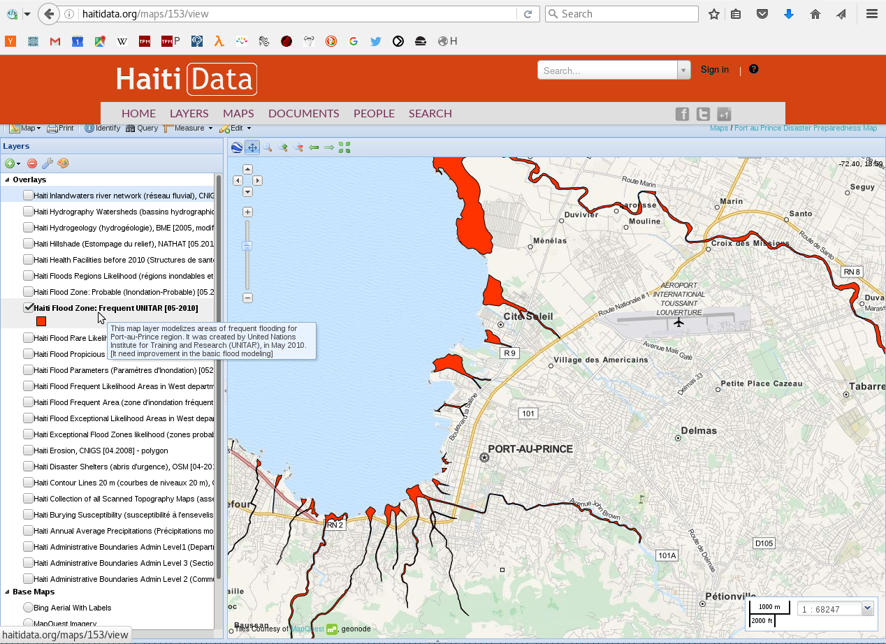
GFDRR and its Open Data for Resilience Initiative (OpenDRI) work to increase community resilience to natural disasters, in particular by sharing data. GeoNode helps them do this by providing a way to easily share geographical data - what parts of a city are the lowest and most prone to flooding? Where exactly has an earthquake hit, and where is assistance needed most quickly?
Why write a report?
OpenDRI began the GeoNode project in 2009, and has been a major contributor to the code and community since then. In 2016, they decided that they'd like to contribute in another way: GeoNode as a project has been tremendously successful, and they wanted to share lessons about how to incubate an open source project. Large institutions sometimes sponsor open source projects, and do not always have success involving partners to the extent they would like. OpenDRI brought in major partners and is now no longer the primary contributor to GeoNode's development. They would like to be able to replicate this success in future projects, and wanted to offer an example to the open source community about releasing and cultivating a project like this. To clarify the example, OpenDRI asked OTS to write a report about the GeoNode project.
Our process
Results
These interviews and research resulted in 9 major lessons for organizations starting future open source projects:
- Run as an open source project from the very beginning
- Engage other organizations commercially
- Focus on communications and evangelism early
- Find and encourage the right partners
- Invest in collaboration infrastructure
- Hold events and sponsor attendance
- Use funding choices as a signal to peer institutions
- Improve user experience to attract new users
- Change the nature of your investment as needed
Flexibility and openness were both key for OpenDRI's success. While GeoNode benefited from having been built on existing open source libraries and platforms, its widespread use and adoption were due just as much if not more to the openness of its community. Its early supporters at OpenDRI shared it widely with similar organizations and worked hard to invite in new contributors.
The full report is available from OpenDRI - see their summary and a download link here, and their announcement blog post for more.